Part 5. Australia, Sydney to Brisbane
==========================
Saturday, 10 December, 2011
-------------------------------------
The U.S. dollar and the Aussie dollar are about even in value, so that will make cost conversions easier.
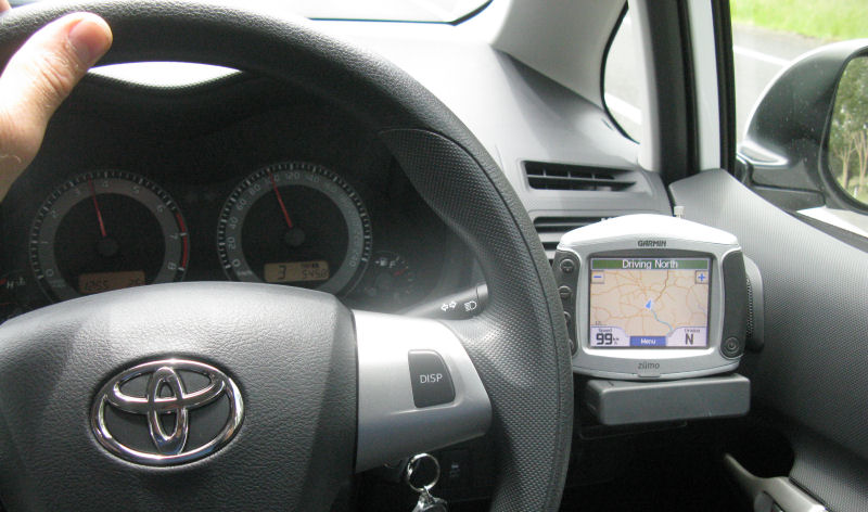
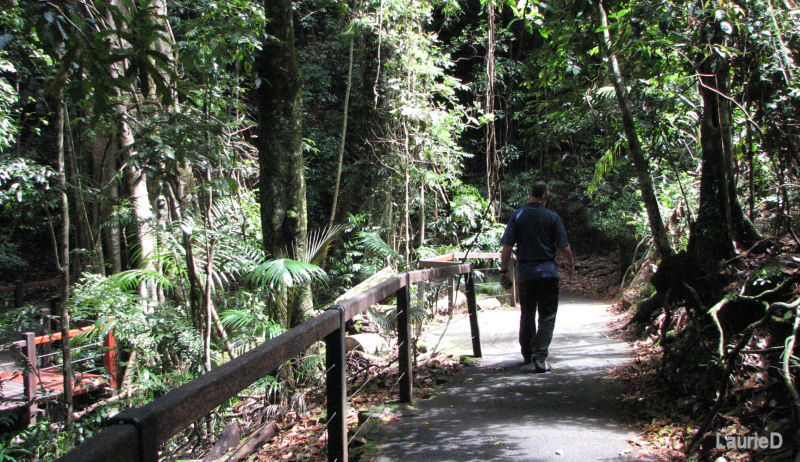
We had no plans to stay in Sydney tonight, so we picked up our pre-booked car, found that we had been upgraded to a 4-door Toyota Corolla, and headed out of the city. Driving on the left side of the road in a car was pretty different from riding a motorcycle on the left side of the road. The right-side driver's position really took some getting used to. The heavy Sydney traffic was also a major pain. Thankfully, the car had an automatic transmission, since I don't think I'm ready to shift left-handed in rush hour traffic just yet.
And the lever for the turn signals was on the wrong side, dammit! I kept using the windshield wipers to signal my turns and lane changes. That's probably how the locals spot the stupid tourists in rental cars--the ones turning into the wrong lanes with the windshield wipers slapping back and forth. At least I managed to always stay in the correct lane.
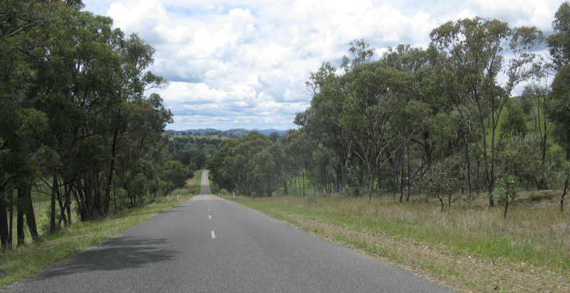
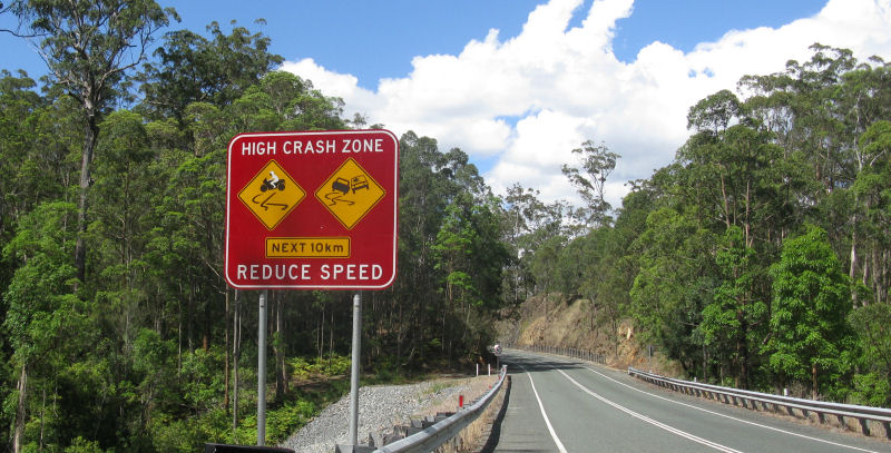
Once out of the metro area, we found a nice side road that kept taking us north. The road was very nice for motorcycles, and we saw a lot of them out for a Saturday ride. There were lots of signs warning motorcyclists to be cautious, and at one sharp bend called "Lemming Corner," there were some bright plastic motorcycle parts scattered on the side of the road. Not to hard to figure out how that curve got its name.
We stopped at a roadside cafe that seemed to be popular with the bikers, and we chatted with a few of them while we ate at one of the picnic tables.
I hadn't thought to load an Australia map into my GPS, so that was no help. Plus, the only power cord I had for it was a hard-wire for a motorcycle's battery. I'd figure out something.
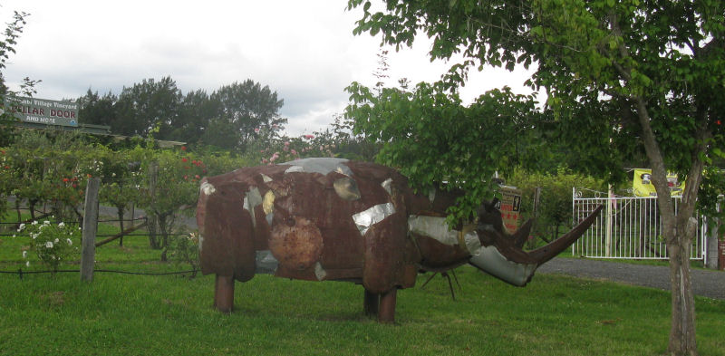
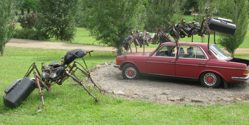
We turned back toward the coast on another smaller road. There were a lot of art shops and galleries in the area. Either that, or the rhinos and ants have gone wild in Australia.
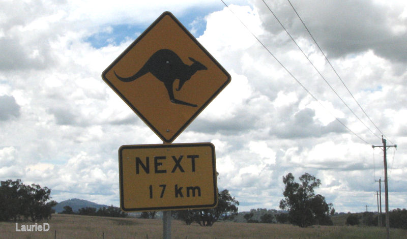
Wildlife warning signs included wombats and kangaroos. Kangaroo (or wallaby) roadkill was common, but we didn't see any wombat remains.
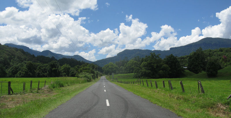
Back on the Pacific Highway, we turned north, hoping for some coastal scenery. That is not the case. The highway is rarely actually on the coast, and the scenery is mostly trees.
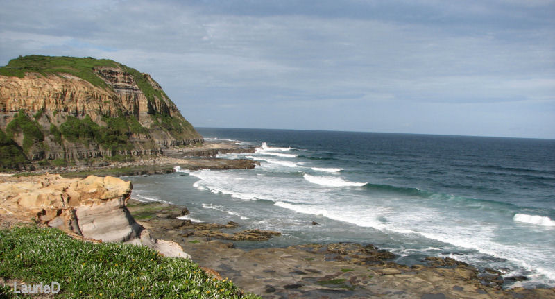
We did detour to a beach access road for a view of the ocean. Just outside this next photo was more development and condo apartments. There was some sandy beach off to the right of the photo.
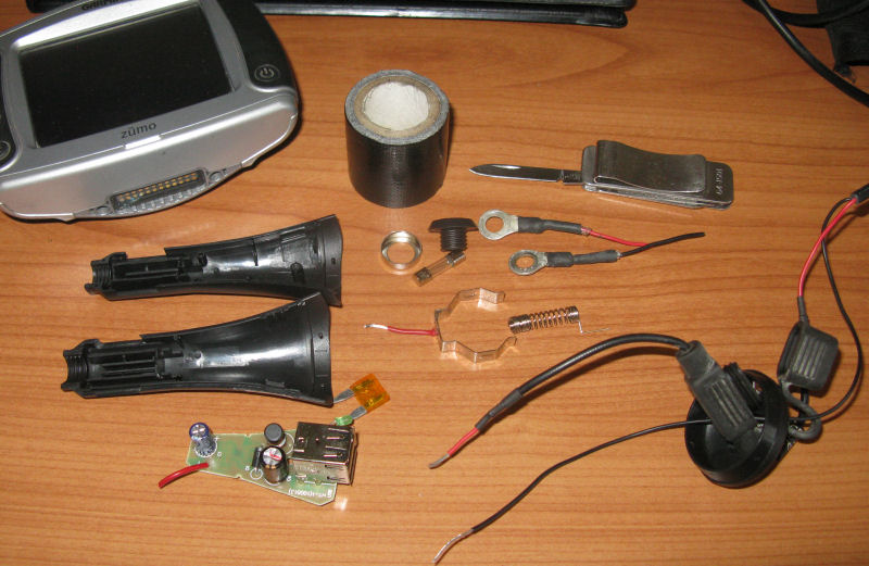
We stopped at the Sleepy Inn in Raymond Terrace, where I re-wired the Zumo GPS power cord into a car-powered USB charger plug. I saved all the parts so things can be put back together later. A pen knife and some tape were all that was needed.
Everything worked fine, and I re-loaded the Garmin world base map into the GPS so that it was useful again (although it lacked any detail and was a few years out of date. The older GPS map was annoying at times, since Australia is doing a lot to upgrade its highway system, but the base map was good enough to plot basic routes and distances. I used a velcro strap to secure the Zumo to my cup holder. Since the Zumo was still in the Ram-Mount cradle, that made it easier to secure.
Like in New Zealand, there is no tipping in Australian restaurants, and all prices already included taxes, so that was nice. The prices in restaurants were again higher than equivalent meals would be in the States, but it was cheaper than New Zealand had been.
Sunday, 11 December, 2011
------------------------------------
The gal at the Sleepy Inn gave us some suggestions on things to see (and things not to bother with) on our drive up the coast. She was very helpful and told us some of her favorite places. We didn't get a chance to go everywhere she recommended, but we appreciated her effort and enthusiasm.
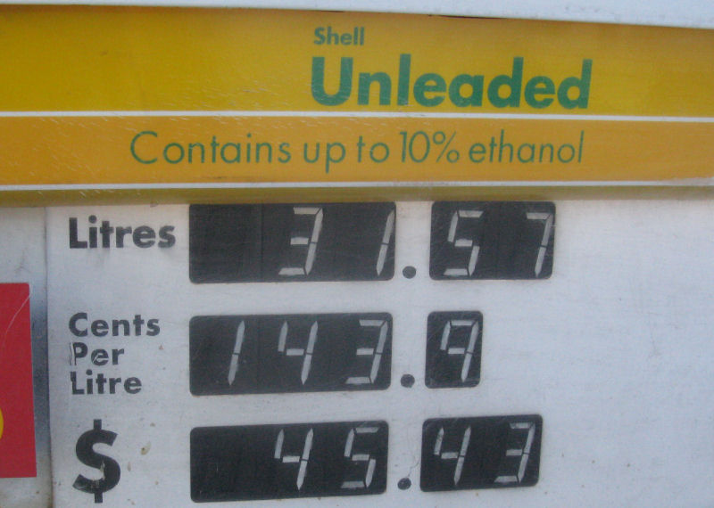
Gasoline was about 20-30% cheaper than it was in New Zealand, but still a lot more expensive than in the States. About $5.50 per gallon, I think.
We drove from Maitland to Muswellbrook, north on Highway 15. It was pretty warm outside, so we ran the air-conditioner much of the time. This really kills fuel mileage, of course, but the heat and humidity were very uncomfortable in the car.
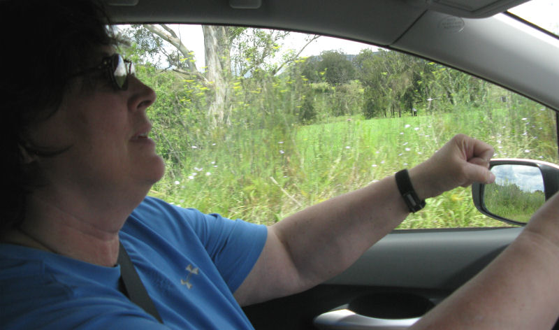
Laurie kept trying to drive the car, since she was in the left seat.
The car stereo had a USB input, so I plugged in a mini USB stick that I had loaded with music, and that helped. Sometimes there was no radio reception, and other times the crap was nothing I wanted to listen to.
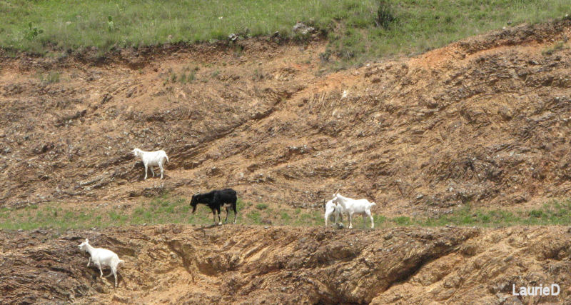
We passed near a nuclear power plant at Muswellbrook, but I forgot to take photos. Sometimes, the road was small and very nice. The scenery never really changed. We did see some goats along the rockier areas.
We stopped in the town of Scone, which we leaned is the self-proclaimed horse capital of Australia. Maybe it's true; we did see a lot more horses than any other livestock in the area. The bathrooms in the information kiosk were labeled for Colts and Fillies.
We noticed a lot of vineyards, too, so we bought some local wine to have later at a motel.
We took another intentional detour onto a smaller road. There was some small kangaroo roadkill, so the animal warning signs were there for a reason. More of a problem at night, though.
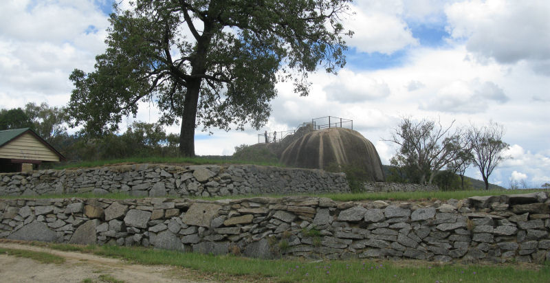
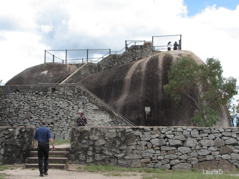
We saw a turnoff to an overlook, so we pulled in there. It turned out to be a simple thing on a rock formation, built in 1938 by the local town leaders. Didn't really look out over anything but the local countryside and the highway. Maybe it had some other meaning at the time.
Most of the SUVs in the area have tall snorkels on them, evidence that they are used to occasional road flooding. Sometimes, long sections of coastal roads are underwater for days at a time. Almost a year ago, the Queensland coast was devastated by severe flooding from cyclone Yasi.
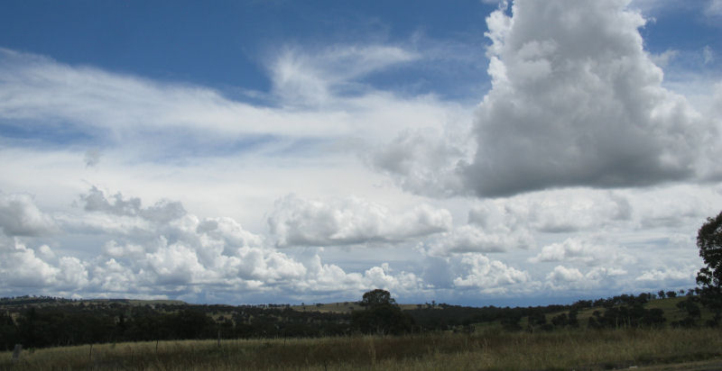
We saw the clouds building, so we knew weather was coming in. It rained a bit, but that helped cool things down.
We took a route that was labeled as Waterfall Way, but we never saw any waterfalls.
We were headed back toward the coast when I noticed the teeny-tiny low fuel warning light was on. It had been on for quite a while, apparently, since the dashboard computer showed that I only had a fuel range of twenty kilometers remaining. Yeeks!
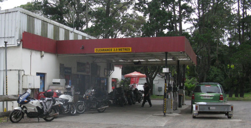
We barely made it to Ebor, a town where we found the only gas station. I had a projected range of only 5k left, the gas station would have been closed in another three minutes, and by bladder would have burst in about four minutes, so Ebor happened at just the right time by any measure.
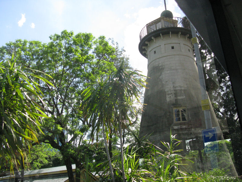
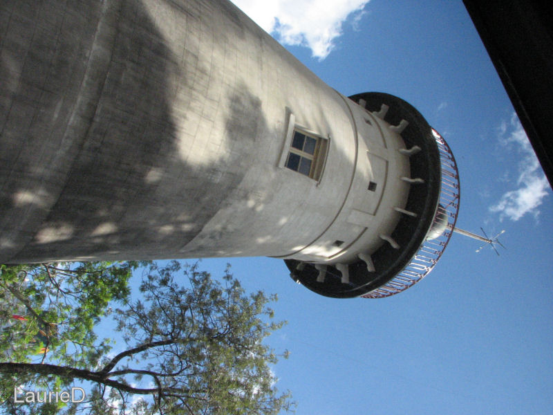
The road got twisty again, and it would have been good for a motorcycle. Except for the light rain that took us all the way to Coffs Harbor, where we stopped at a Comfort Inn motel that was built in a huge windmill motif. The rain got so heavy that while we were eating in the motel's restaurant, water flooded through one of the doors and into the dining area.
I managed to get this report up-to-date and uploaded, so that was good.
Monday, 12 December, 2011
------------------------------------
It was still a damp morning, but at least it wasn't still raining. We grabbed breakfast at gas station, and I discovered that I wasn't getting any wiper fluid to spray on the windshield. It was flowing the the rear window, though. Hmmm... I bought some fluid to top-off the reservoir, but that didn't solve the problem. We called Hertz, and they suggested that we take the car to their airport facility in Brisbane when we got there, and they would either fix it on the spot (not likely), or they would swap the car. I fiddled with all the fuses and hoses to see if I could find the problem, but I never could get the fluid to flow. Whenever I pushed the wiper lever up to the "Mist" position, the wipers would wipe, but no fluid would flow. I hadn't used the wiper fluid until then, so I hadn't discovered the problem until that time.
We'd deal with it in Brisbane.
There was a lot of road construction all along the Australian coast. It was impossible to travel for more than twenty minutes on any road without encountering a small or large job site. Good for Australia's highway system, bad for tourists.
Some of the highway sections were deathly dull. Trees and some farms. Oh, look... more trees and farms.
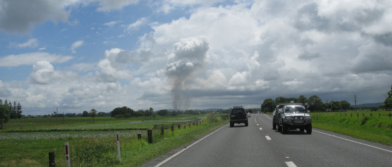
We had seen lots of small fires, and we learned that it was from farmers and ranchers burning underbrush or clearing trees.
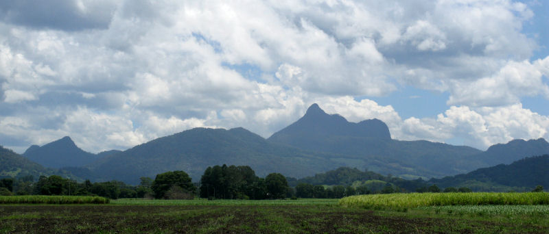
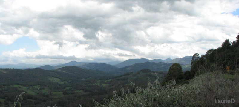
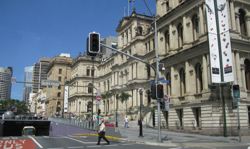
We stopped in Murwillumbah and visited the tourist center. The region had a lot of parks and scenery, mostly related to the huge volcanic caldera that surrounded the place. Mt. Warning was the highest peak, the remains of the central volcano's core.
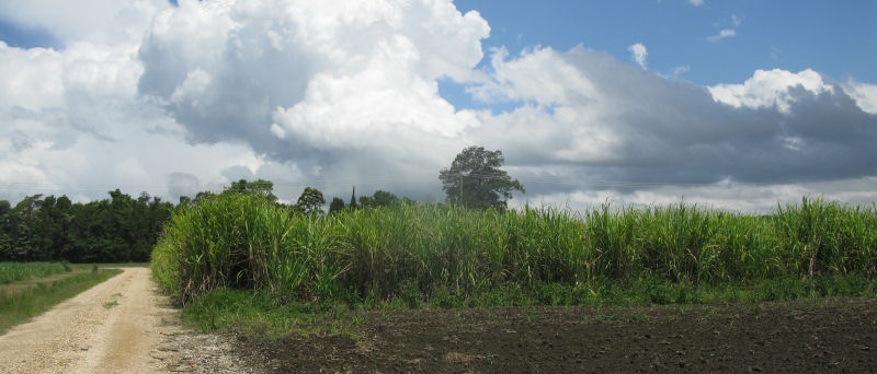
We were also seeing more and more sugar cane fields. As we went, this became the most obvious crop along the highways.
We chose a "Tourist Route" road away from the coast, and since we had plenty of time to get to Brisbane that day, we were not in a rush.
Tourist Route 34 (in New South Wales) became Tourist Route 97 in Queensland. Also at the state border were signs warning about transporting various kinds of crops into Queensland. From here, all the way to Townville, we saw warning signs about sugar cane and bananas being restricted to the areas where they were grown. Fighting insect and other infestations, I suppose.
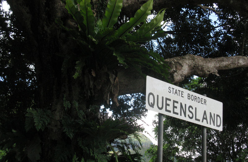
The border crossing itself was on an elevated section of the road, and where the trees were clear, the views were good.
Along this stretch of road, I came around a bend and saw a huge lizard walking across my lane. It was at least four feet long, and I thought I was going to drive over both its head and its tail. Laurie had her camera in her hand, but she saw the lizard and froze, forgetting all about the camera at the critical moment. Just as I was about to hit the creature, it started to turn around and was in a "U" shape when I passed over it. We saw behind us that I had completely missed the monster. It was by far the largest lizard I had ever seen outside a zoo.
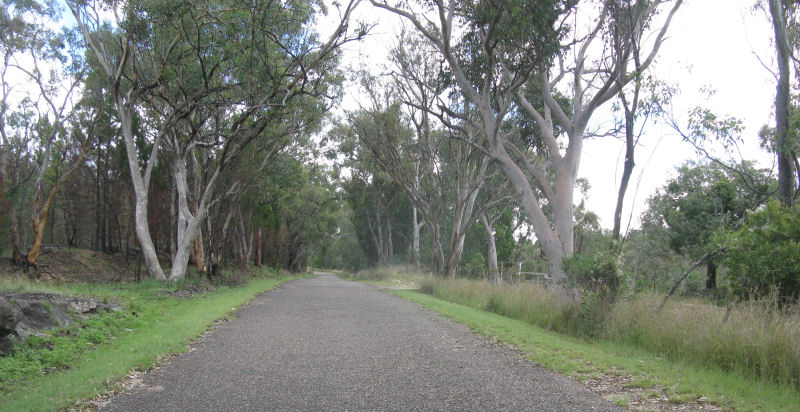
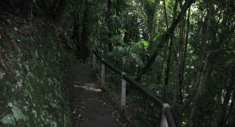
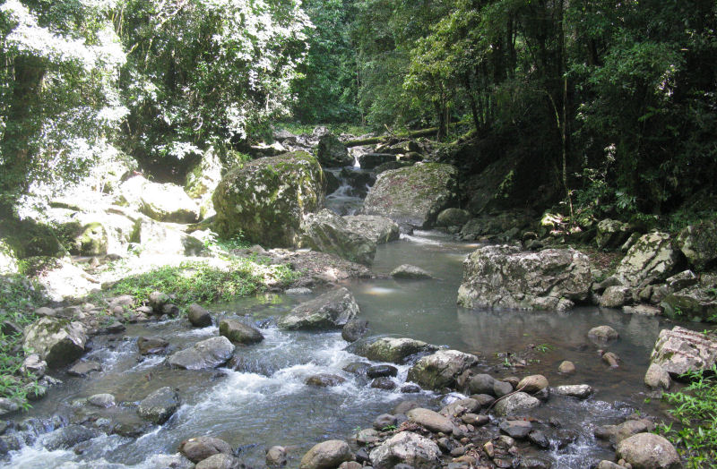
We drove into a low valley that had a short walk to a land bridge that the motel lady back at the Sleepy Inn had told us to visit. With the overhead tree canopy, the humidity from the river was very high and I started sweating right away. The walk was only about ten minutes to complete the loop, and it did go over a small rock bridge over the river. A nice side trip, but not worth going far out of your way to visit.
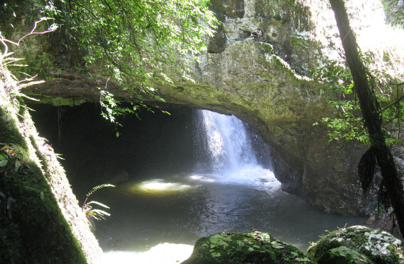
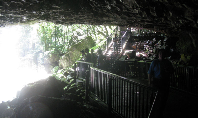
Under the land bridge, there was a grotto that had been carved out by the crashing water. This was one of the side-trips off the main walkway loop. Some Japanese tourists were videotaping everything, so I felt like we were getting in their way the whole time we were down there.
We headed back to the coast, staying on smaller roads. Again, some of them would have been good on a bike.
If you were careful, that is.
We got slightly lost as we entered Brisbane. This was no surprise, since we didn't have a city map and the GPS base map had no city detail whatsoever. We got a map and some local directions at a gas station, and we finally managed to stumble our way to the airport.
As soon as the Hertz manager at the airport examined my faulty windshield wiper fluid dispensing mechanism, it worked just fine. I noticed (in my humiliating embarrassment) that he was pulling on the wiper lever rather than pushing it up to the "Mist" position. I mumbled to him that he had a Midas touch and that the thing was magically fixed. He stared at me blankly for a few seconds and wished us a pleasant drive.
Okay, in my defense, it still should have sprayed in the "Mist" position, but I really didn't care anymore.
We found a motel along a fairly major road and settled in for a couple days. I talked for a while with an Aussie who had been staying at the motel for three weeks while he was in training. He worked in the Sydney dockyards, and he was training in the Brisbane docks for new methods of inspecting cargo for smuggling.
Right next to our motel was a Hamilton's Hotel and casino. The casino consisted (as was often the case) entirely of slot machines, which are called "Pokies" here. We'd try the Hamilton's restaurant another time, and opted instead to walk up the street to a row of restaurants. We chose an Indian-Asian place.
The local paper had a large article on the increasing efforts by police to deal with "hoon" drivers, which I learned from the article was a reference to young, reckless drivers. Everything from spinning tires and racing to drunk driving and driving without proper licenses was included, and the penalties were rising significantly. Monetary fines were more than doubled, and mandatory vehicle seizures started at 48-hours and on subsequent violations led to permanent loss of the vehicle. (Days later, a follow-up newspaper article showed that a huge majority of people in Queensland were in favor of the stricter enforcement.)
I suspect that lower drinking ages and a more care-free youth attitude has led to some serious repeat offenders and lots of deaths.
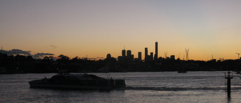
Right across the road from the motel was the river, and we found that there was also a dock for one of the water ferry services.
As we had seen before, what this motel meant by "Internet available" was that you had to sign up for one of the regional pay services and put money into an account. The rates varied depending on usage, but $6 an hour was not gonna happen for me.
Tuesday, 13 December, 2011
-------------------------------------
As in most of New Zealand, you can't simply ask for "coffee" to get what you want. Flat Black, Short Black, Long Black? Some type of cappuccino, or maybe a latte? Hell, I've never needed a barista, I just wanted coffee when I wanted coffee.
*Sigh*
Oh, and if you need a napkin in New Zealand or Australia, ask for a serviette. A "napkin" here is a feminine hygiene product. If that's what you need, you probably aren't asking the waiter for one.
Most of the time, a full cooked breakfast ranged in price from $17-$20, just as in New Zealand. We found a nice place nearby.
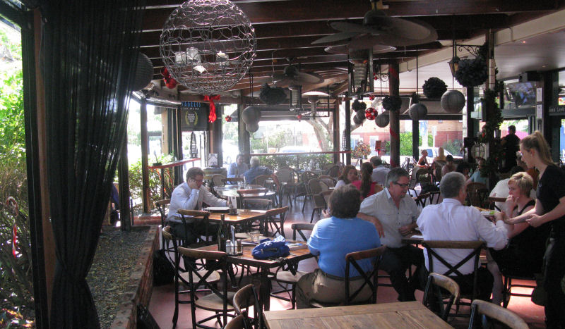
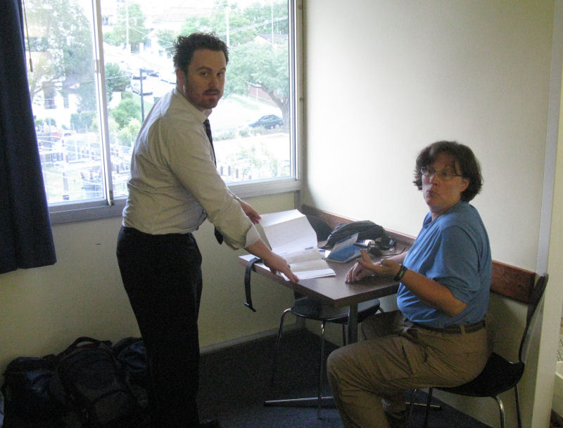
In the photo above, you can see Laurie's back as she chatted with some of the people at the next table. The guy who stayed and talked with us for quite a while was "Robin, like the hood," as he put it.
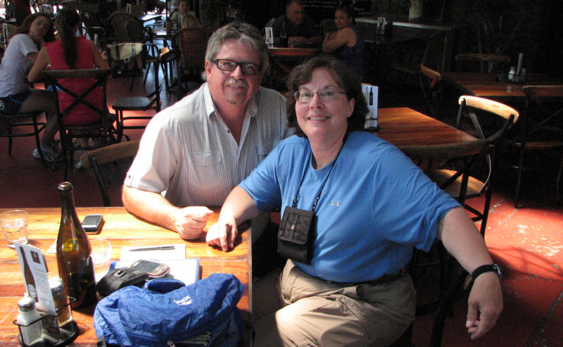
As we talked about our travels and told him that we were considering a side trip into Australia's Red Heart to see Ayers's Rock, or Uluru as it is more frequently called nowadays. Robin revealed that his son in Brisbane was a travel agent, and we were soon in phone contact with Brenton to see what might be arranged. He assured us that he would be back in touch with us later in the day with whatever he could arrange on such short notice. The main issue was going to be the flights to Uluru, and no direct flight was likely.
We thanked Robin for his company and for having a son who was a travel agent.
Our plan for the day was to ride the ferries and walk about a while. We'd like to take a tour of some kind, but we didn't know what was available yet.
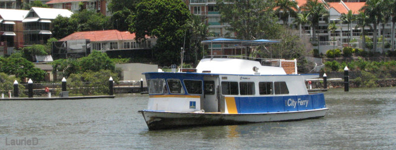
We walked across from our motel and caught the next City Cat that was going upriver.
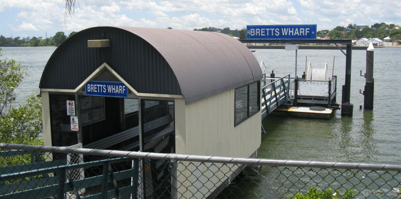
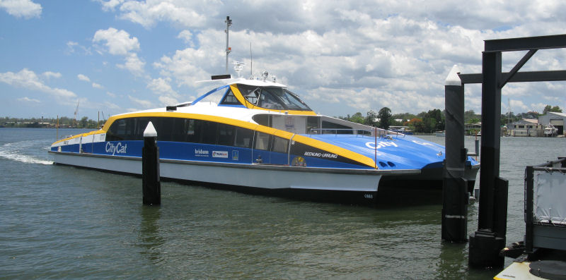
A $4.60 ticket was good for two hours, useable on any of the ferries or public buses, so that was convenient. The bigger City Cats and the smaller City Ferries stop in different places, with separate routes for each type of ferry.
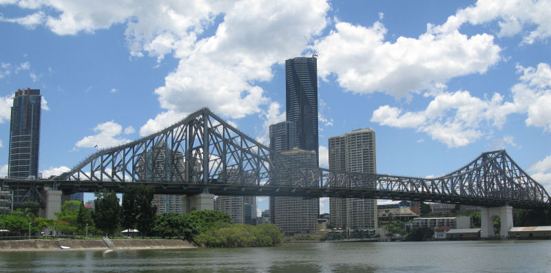
As the Cat made its stops along the river, it took us closer to the heart of the city. Below is the Story Bridge, but I don't remember why it seems to be famous.
Brisbane is a good-sized city of 2.2 million people, crowded mostly on one side of the river and not far from the coast. All of the taller buildings seemed to be apartments.
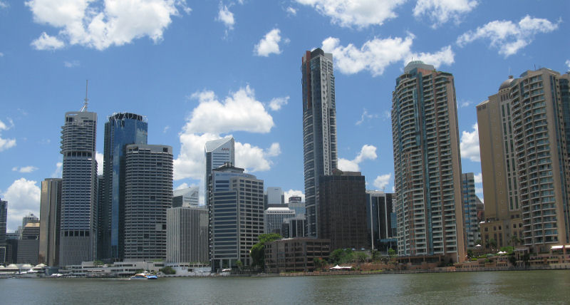
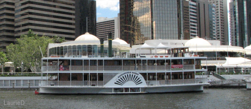
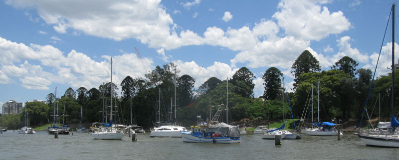
A couple of boats seemed to be paddle-wheelers, but I think that was cosmetic only. Probably river scenic cruise boats.
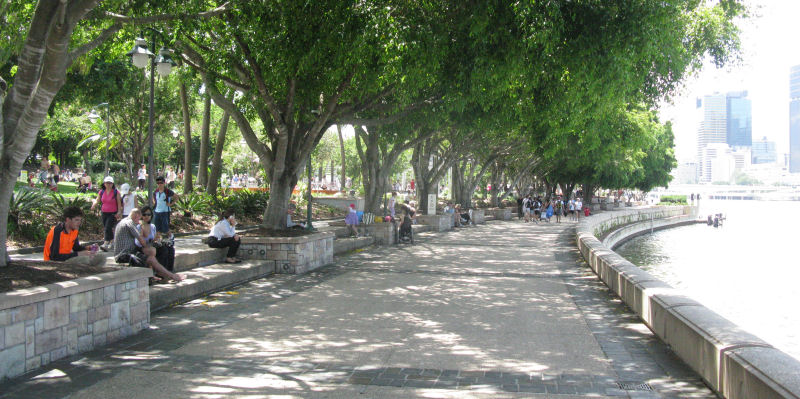
The suburbs stretch along the river for a long ways, mostly lining the waterway with apartments and large private homes. Probably a lot of small hotels and condos, too. Small parks were spaced apart, never far from one of the ferry stops.
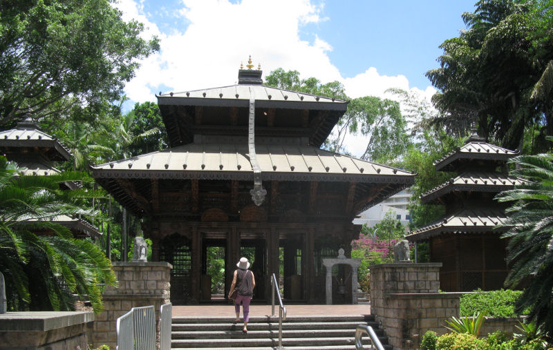
We got off the City Cat at one of its South Bank stops. This was a recreation area, with parks, pools, shopping, and restaurants.
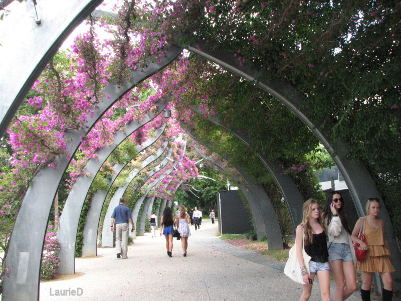

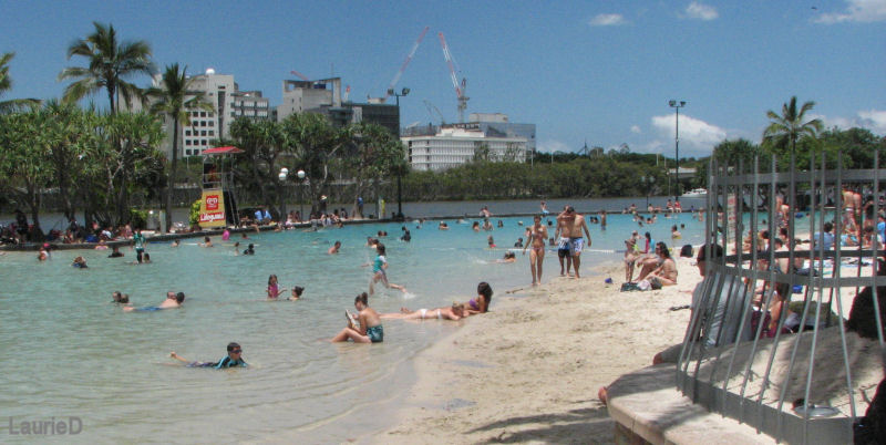
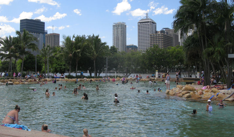
Most of those enjoying the artificial beaches and pools seemed to be locals and not tourists. Being right across the river from the downtown heart of the city made it very easy to take a lunchtime soak.
We caught a City Ferry back down the river a short ways and walked into the downtown area where we found that we could catch a bus tour.
The bus tour wasn't quite a total waste of time, but it was a sorry excuse for a tour. Part of the problem was that the huge bus had to keep moving at traffic speeds and everything in the city was too close to see well, but part of the problem was that the driver/guide wasn't very good at narrating what we were seeing. He never described anything before we got to it, so his patter usually went like this: "Folks, off to your left was [some famous building], and you can still see it now if you look out the back of the bus."
The sound system wasn't helping, and the fuzzy sound made it more difficult to hear what the driver was saying.
I think this tower was one of the earliest commercial buildings in Brisbane, but any other details were lost. Maybe it was built by prisoners? I felt lucky to manage this photo of it.
Hey, this is the photo that Laurie got.
Also hampering the tour were all the trees once we were outside the downtown area. The eye can distinguish between near and far objects, but the camera cannot, so taking photos through the trees and shrubs flashing just outside the bus windows was fruitless.
The 90-minute bus tour wound up Mt. Coot-tha for an overview. Like the other stops on the bus tour, you were free to exit the bus and catch the next tour bus that would came by within 40 minutes or so. We chose this option at the hilltop, and got off the bus to take a break from the rush through the Brisbane streets. Also, we hoped that the driver of the next bus would be a better guide. He wasn't.

We didn't take the option of getting off at any of the other stop points, and finished the tour just about where we started. We walked through another part of the city on our way back to the river.
Brisbane's war memorial and Eternal Flame was next to a memorial park that recognized the men and women who had served in all of Australia's military campaigns.
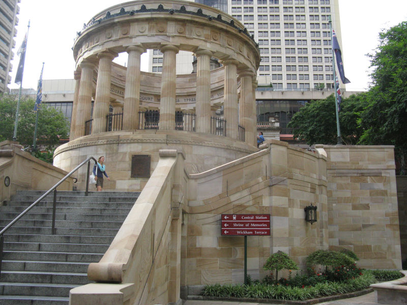
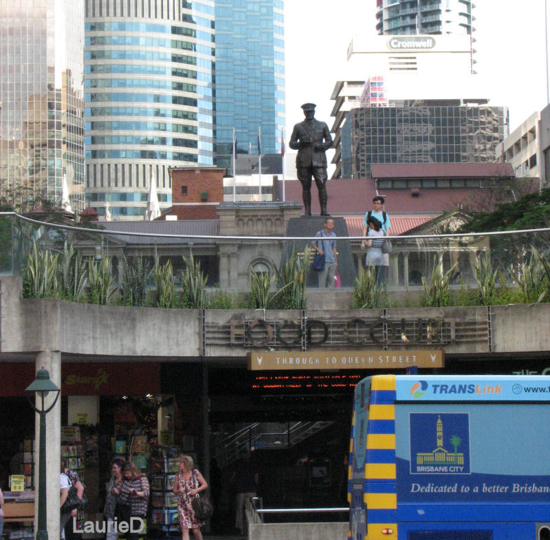
There were several under-street crossing areas where you could find more stores and services. This one had a food court and was watched over by a statue of some military figure.
After another City Cat ride back to our motel, we were soon greeted there by Brenton, who had brought our travel plans, tickets, vouchers and other documents. We'd have to fly back down to Sydney for the connection to Uluru, but that's the best we could get.
We re-packed our small backpacks as our only luggage for the 2-day side trip. We'd leave the rest of our luggage in the rental car, which the motel allowed us to leave in their garage for $20 and a reservation for another night's stay upon our return.
The Hamilton Hotel's restaurant had three separate areas. One was the sports bar, one was the regular table-service restaurant, and the larger area was open seating. Here, you ordered your food (primarily, this was a steak house) and told them what table you were at. Your food was brought to you, but otherwise you were on your own. The steaks were good, if a little pricey.
<< PREVIOUS report -- New Zealand, South Island, Week 2 >> << NEXT report -- Australia, Detour to Ayers Rock >>
Australia, Sydney to Brisbane
[ ERRANT-RONIN HOME ]
[ Prudhoe Bay to Ushuaia Home Page ]
[ Ride Reports Home Page ]